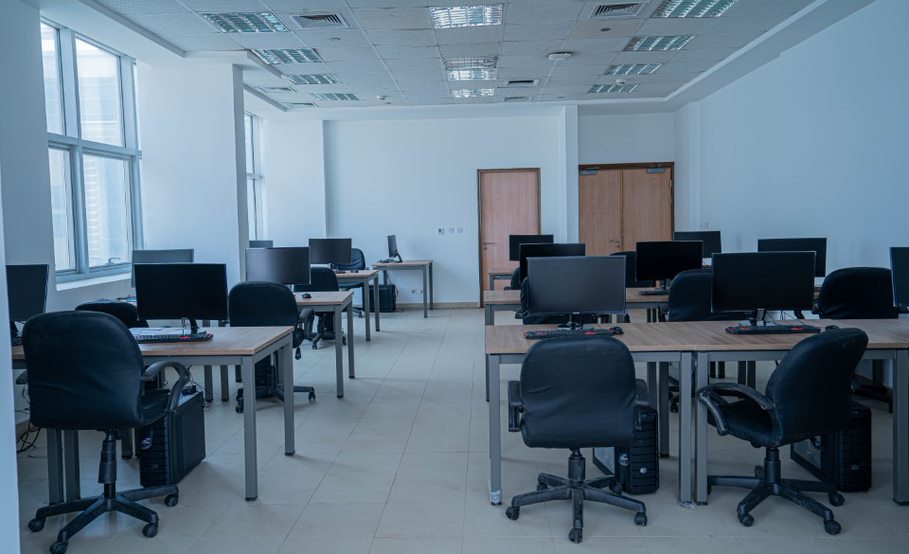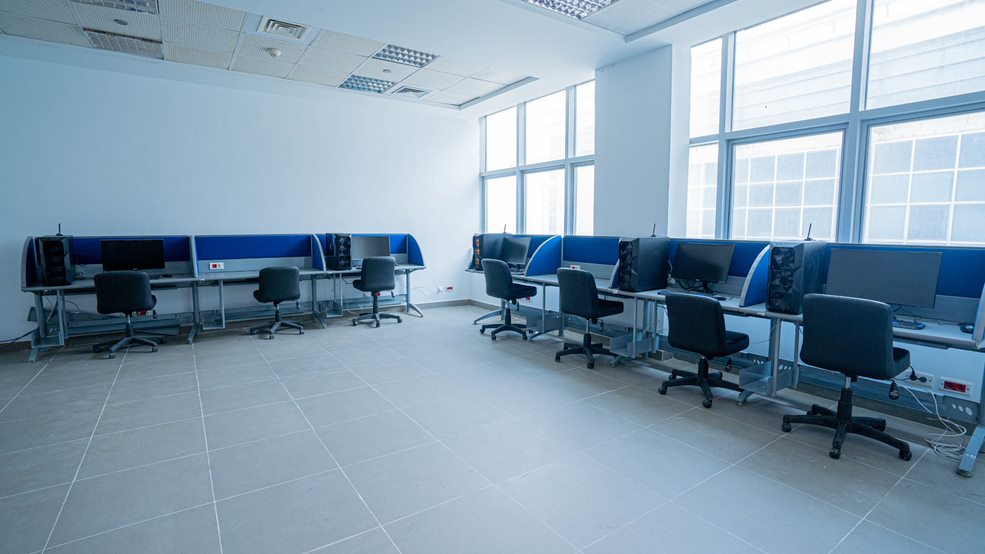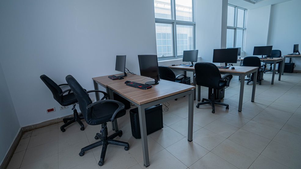

Visualization & Simulation Lab
Given the multidisciplinary nature of the developed program, VSL will play an essential role in integrating the multiple disciplines in the curriculum. It enables hands-on teaching of courses such as Building Information Modelling (BIM), Building Performance evaluation and runs simulation programs, as well as tools for architects in several aspects including design, analysis, simulation, sketching, visualization in 2D and 3D as well as information sharing.
Geographic Information Systems (GIS) is applied to study, analyze, and visualize phenomenon that has a spatial component. This is particularly useful in the areas of urban design, community planning, and contextual architectural design projects. This is achieved through hardware (15 PC workstations) and software resources for ICT systems and networks. It is also complimented by a printing / plotting facility.